
How can we help speed up the transition to low-carbon energy? By providing field workers with solutions that reduce their turnaround times and make their jobs easier. This is the aim of the software, a kind of “Google Map” for geoscientific data, for which Look Up Geoscience is developing the first software component. A first version is expected to be released in 2025. It is the result of an original collaborative approach.
A tool that allows data from different geophysical and geoscientific methods in the broadest sense to be manipulated and visualized in a single working environment, but also a product that is affordable, flexible, and user-friendly.
These are Look Up Geoscience’s requirements. And they didn’t just fall from the sky! They are the result of close collaboration with around 40 potential users: the “key users.”
Focusing on the needs of future users

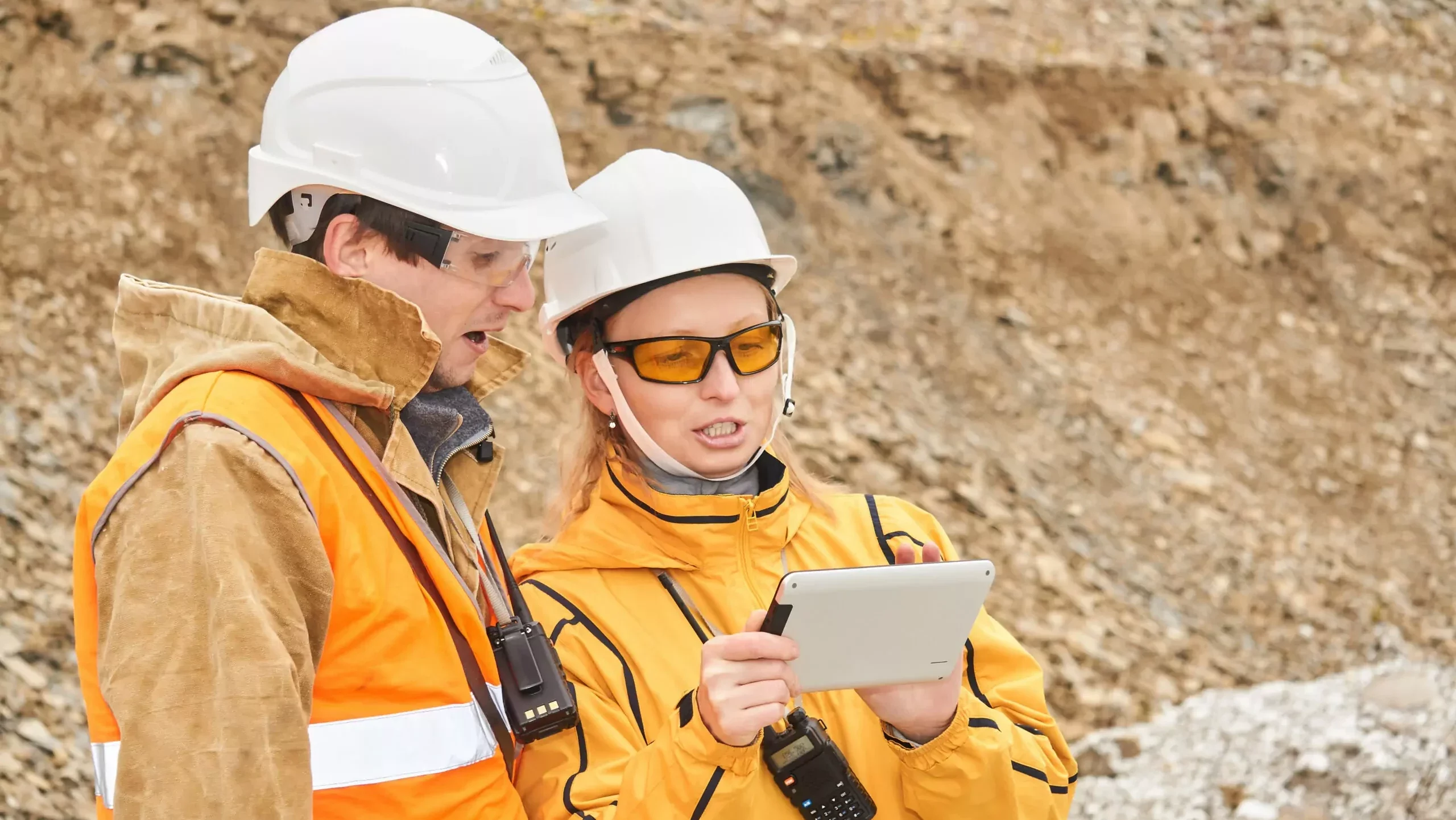
“They are geoscientists, including geologists, geophysicists, and geomatics engineers, who work in the fields of low-carbon energy, geothermal energy, and natural hydrogen, explains Aloïse Chabbert, product manager at Look Up Geoscience. We talked to them to understand their needs, their difficulties, and the obstacles they encounter on a daily basis.”
Three major issues were identified. First, these professionals waste a lot of time loading data that is not systematically standardized or harmonized, which is an extremely tedious task. Second, they generally use specific software for each type of data, which means they need to have several different programs- up to five – to be able to manage all their data. Finally, standard geoscience software is often inaccessible to them due to its cost, the specific knowledge required, and its generally complex learning curve.
“To get around these obstacles, these players resort to open source solutions or shared licenses, but these don’t allow them to do everything, comments Aloïse. Their work requires a lot of tinkering and, as they themselves say, it’s laborious!”
Software that ‘fits’ the users’ constraints
This stage of intensive discussions with key users enabled the Look Up Geoscience teams to identify the features that the software would need to include. “We quickly realized that it was essential to be able to load all the data in one place, in a single digital space, explains Aloïse. This was a very clear request from the key users, and this is where Look Up was able to offer real innovation. And since the needs of the various key users overlapped quite a bit, we decided on a platform that does most of the work, using an 80/20 approach focused on critical features covering the vast majority of user activity.”
The goal was to create a tool that could adapt to a variety of environments and be used by everyone, as opposed to specialized software designed for experts.
“We also wanted to create a flexible tool where users aren’t locked into a workflow or forced to follow a specific method. If they want to go from point A to point D without going through steps B and C, they should be able to do so”, continues the product manager.
The Look Up Geoscience’s software a first functional iteration in 2025
A first version of the software is expected to be released in 2025. It will include the data loading, structuring, and visualization components of Look Up’s future software.
This stage will enable its functionality to be tested and verified that it meets the requirements identified by key users. Look Up Geoscience is particularly focused on the ergonomics of the interface, which it wants to be very user-friendly. “Some of our future users will spend entire days on it, so we want it to be as user-friendly as possible,” explains Aloïse.
By translating scattered, heterogeneous, or complex data into easily understandable and interpretable visualizations, the software aims to improve research capabilities, encourage innovation, and facilitate strategic decision-making for sustainable practices.
To be continued…
Interview with Aloïse Chabbert by Véronique Molénat, Scientific Editor.