
Keep in touch!

Promised we'll only send you interesting information.

We will not pass on your details to third parties.
See our privacy policy for more information.

EarthSight™ Software

Unlocking the subsurface knowledge for everyone

Download EarthSight™
version under construction!


Your feedback matters! Try the version
under construction of EarthSight™ and join our Up Squad

user community to help improve the software.

My commitment

EarthSightSoftware

Unlocking the subsurface knowledge for everyone

Download

Try the under construction version of EarthSight™ for free.

My commitment

We’re building the software you’ve been missing​

The software you’re missing​

Earthsight™, the solution to understand subsurface

  • Launch
  • Act 1
  • Act 2

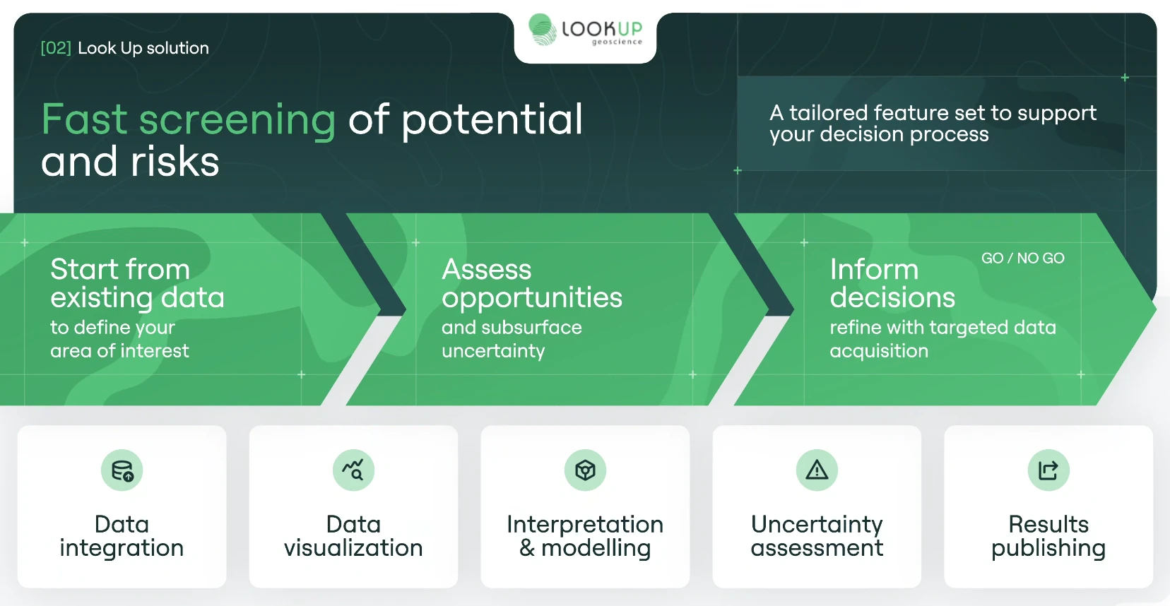
From data to decision​

Earthsight™, the solution to understand subsurface

Data
integration​

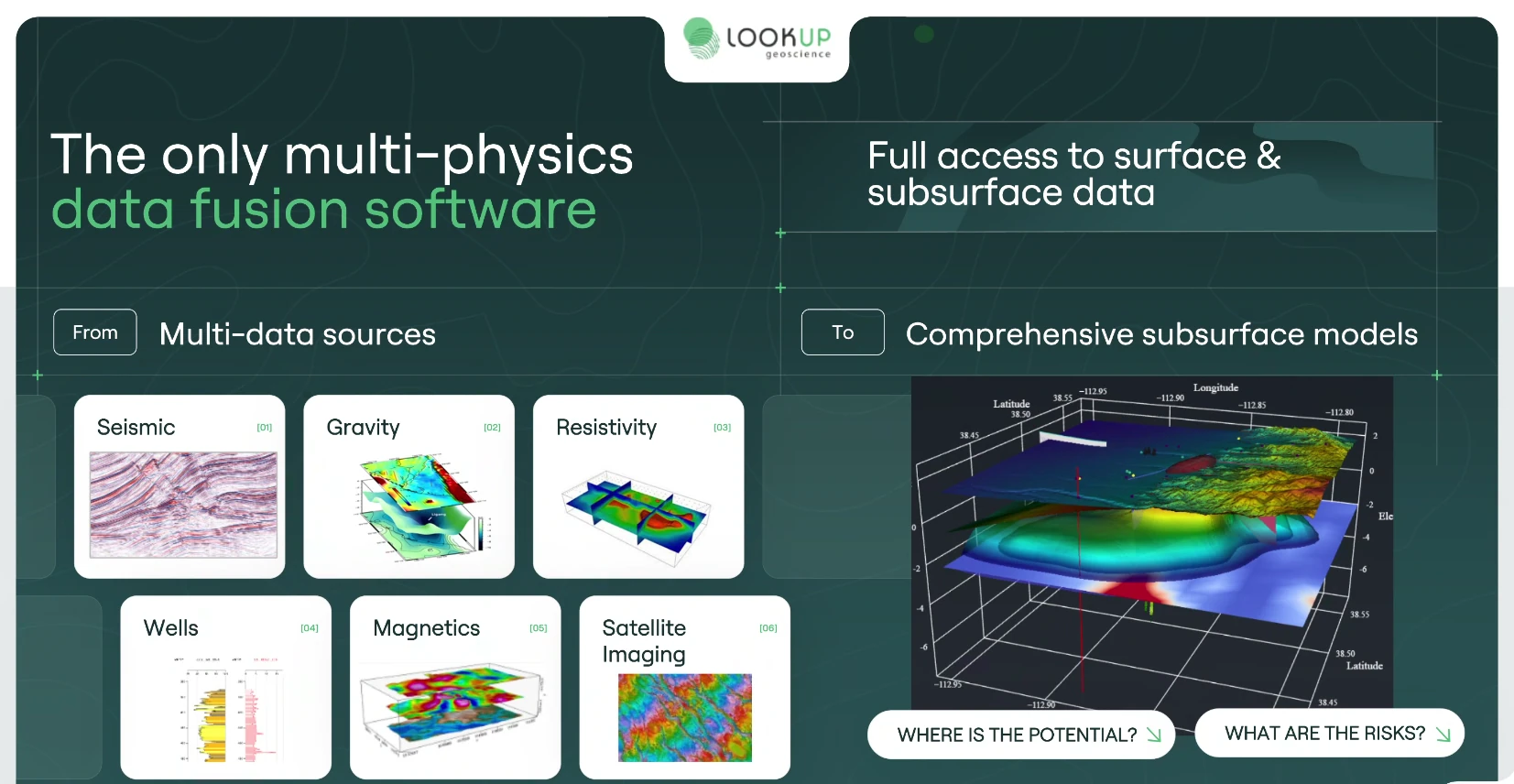
Multi-source​ import geophysical,
geochemical, geological, surface, maps etc.​

Data
visualization

Visualization of all available data​
Cross-data exploration​

Interpretation​ & modelling​

Interpretation workflows​
Geological modelisation (static & dynamic)​

Uncertainty estimation​

Risk and potential assessment​
Integrated uncertainty tools​

Result​ exports​

Structured export​ & reporting​
Support for technical and project decisions​

Data
integration​

Multi-source​ import geophysical,
geochemical, geological, surface, maps etc.​

Data
visualization

Visualization of all available data​
Cross-data exploration​

Interpretation​ & modelling​

Interpretation workflows​
Geological modelisation (static & dynamic)​

Uncertainty estimation​

Risk and potential assessment​
Integrated uncertainty tools​

Result​ exports​

Structured export​ & reporting​
Support for technical and project decisions​

Easy-to-integrate data

  • Geophysical data
  • Geochemical data
  • Maps
  • Surface data
  • Geological data
  • Wellbore data

Data integration

  • Geophysical
  • Geochemical
  • Maps
  • Surface
  • Geological
  • Wellbore

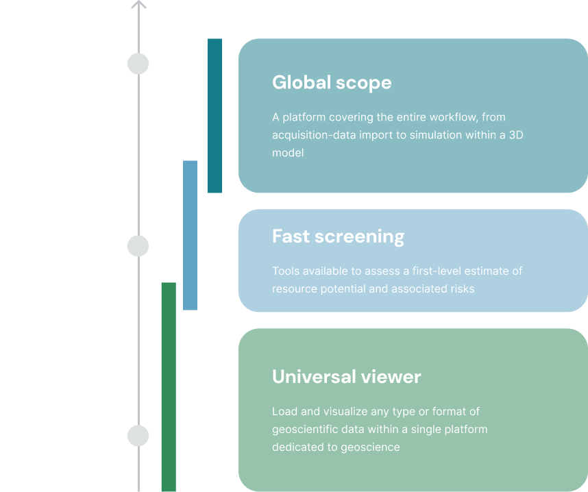
Comprehensive

An effective all-in-one platform

Covers the entire cycle, from surface studies to subsurface studies, all in a single tool. 20% of the features provide 80% of the value to the user and maximize time savings.

Ergonomic

Simple and user-friendly interface

Offers a comprehensive toolset with modular and
and flexible user-friendly features. Its ease of use lets you stay focused on what matters most.

Collaborative

Open and collaborative workspace

Features a compatible and extensible architecture that allows you to integrate external code, customize your environment, and collaborate with your teams.

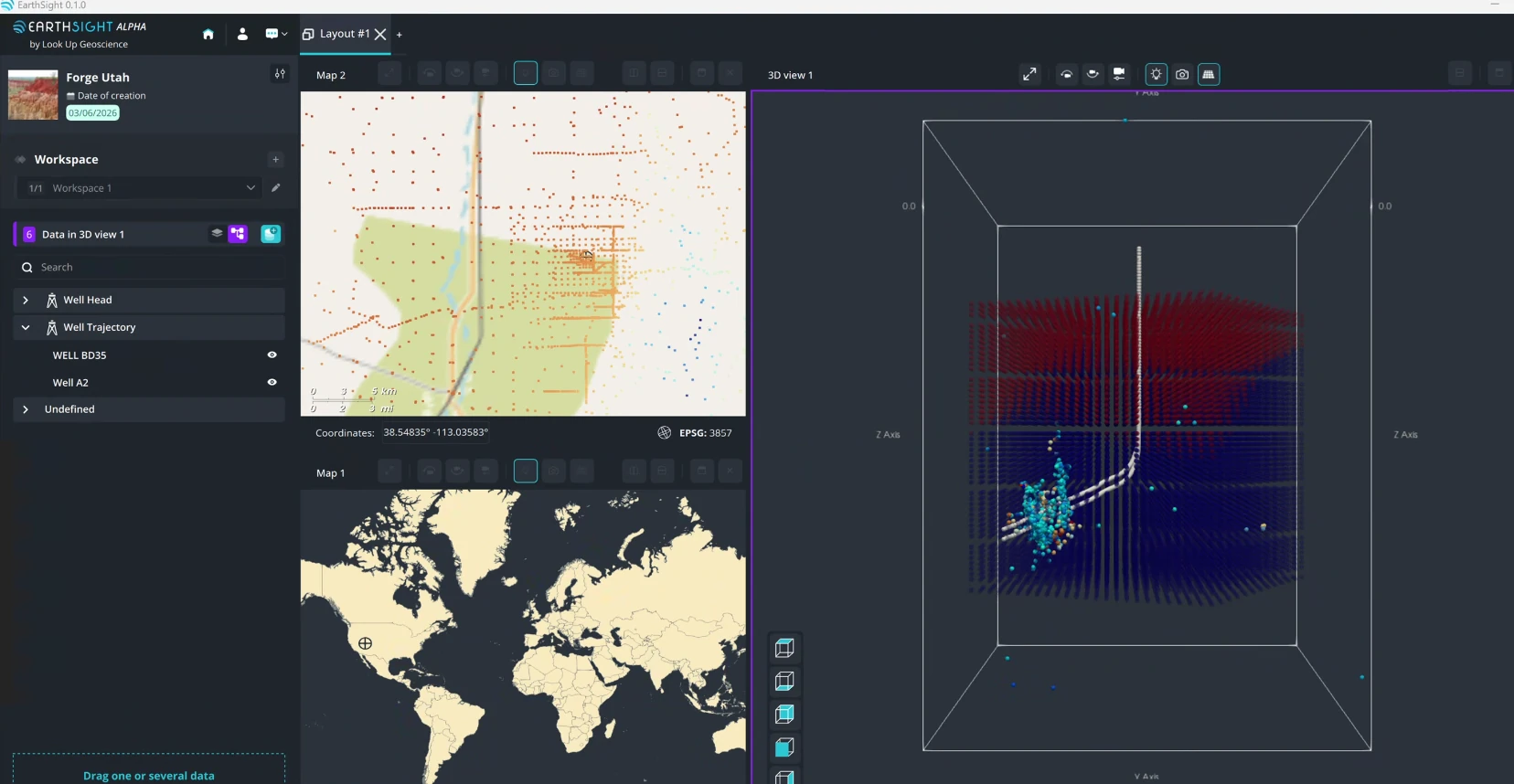
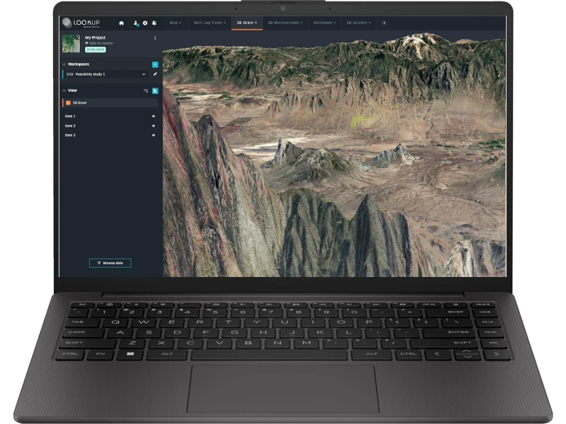
Check out the EarthSight™ software prototype

Check out the EarthSight™ software prototype

Built with you, for you
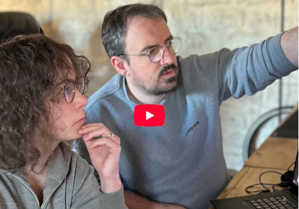
Help us get it right!​

contact@lookupgeoscience.com
310 Av. de Saint-Maur, 34000 Montpellier

Book a demo!

Try the alpha version of the software for free.

My commitment

Book a demo!

Try the alpha version of the software for free.

My commitment